Gear & Kit
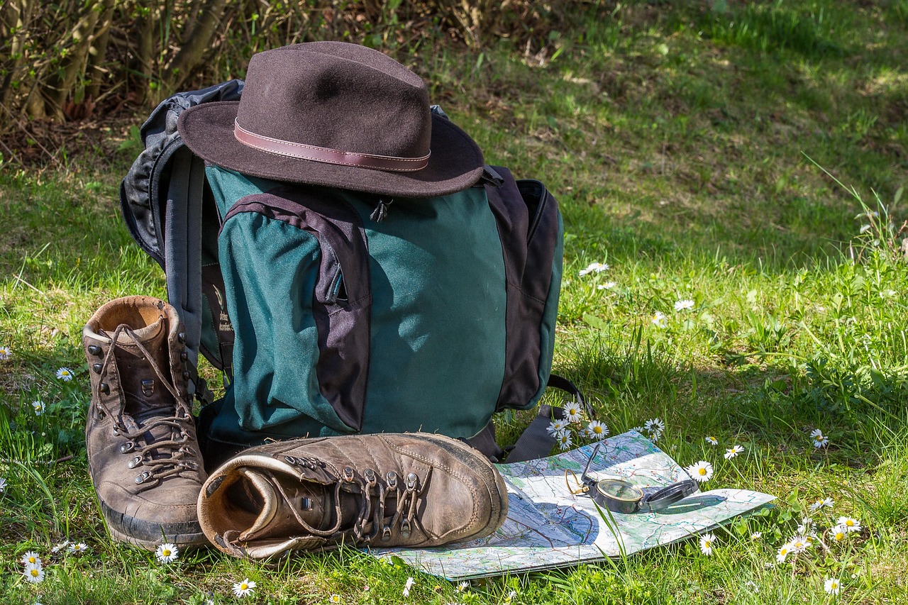
Every year, mountain rescue teams in the UK are called out to walkers who were following a phone screen until it went black. It is not a criticism of anyone's intelligence — it is simply what happens when we lean on a tool that depends on battery, signal and a dry pocket. Learning to navigate with a map and compass is not nostalgic or old-fashioned. It is the single most useful skill you can build as a hillwalker, and it makes every day out better, not just the emergencies.
The good news is that you do not need to be an expert to be competent. A handful of core skills, practised somewhere familiar and low-stakes, will carry you through most situations the British hills can throw at you.
First, learn to orientate your map. This means setting the map so it matches the ground around you, using the compass needle and the map's magnetic north lines. It sounds basic, but it is the foundation for everything else — once the map is orientated, features line up and the landscape suddenly makes sense.
Second, learn to take and follow a bearing. Pick a point on the map, line up the compass, account for magnetic variation (in the UK this is currently a small easterly offset, and your map will tell you the exact figure), and walk on that heading. The crucial habit is to pick an intermediate object in line with your bearing — a boulder, a fence post, a clump of trees — walk to it, then repeat. Trying to stare at a compass needle for a kilometre is a recipe for drifting.
Third, learn to measure distance. On a 1:25,000 OS map, every grid square is one kilometre, and 1.5 centimetres on the map equals roughly 100 metres on the ground. Count your paces over a known distance to work out your own pace count, then use it to track how far you have travelled. Combine distance with bearing and you have a rough position fix even in fog.
Fourth, learn to use handrails and catching features. A handrail is any linear feature — a wall, stream, ridge line or path — that you can follow to keep yourself on course. A catching feature is something beyond your target that tells you if you have overshot. These are the tricks that turn navigation from a maths exercise into a practical craft.
Do not wait for a whiteout to test yourself. Go for a walk on a route you already know well and navigate it purely by map, ignoring the path. Try a short leg on a bearing across open ground. Deliberately walk in poor visibility on a familiar hill so you learn what it feels like when the world shrinks to twenty metres.
Carry a proper laminated map of the area you are walking, not a printout of a route card. Keep your compass on a lanyard around your neck so it cannot be dropped. And practise in the rain, because that is when you will actually need it. A waterproof map case is worth the small cost.
The payoff is enormous. Navigation skills give you the freedom to leave the honeypot paths, to explore the quieter corners of the national parks, and to keep going when the cloud comes down. They also make you a better companion on the hill. If you can navigate, you can lead. Start small, practise often, and your map and compass will quietly become the most valuable things in your pack.
